
Aerial photos of Toronto offer a chance to explore how the city has changed over the years. There's no better way to get a sense for how Toronto's built environment has expanded than by looking at the city from the air over the decades.
Many buildings we're familiar with seeing on the skyline may be absent, so it's fascinating to see how our beloved Toronto looked before they were built.
Here are some aerial photos of Toronto from 1920 to the 1980s.
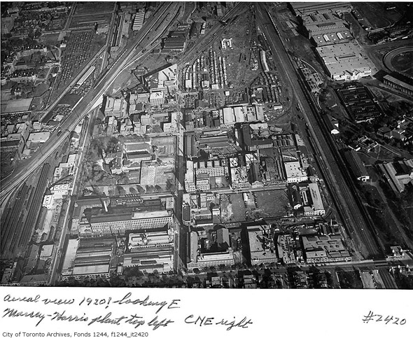
King West and what is now Liberty Village in 1920
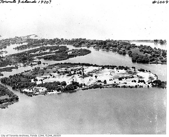
Toronto Islands, 1920
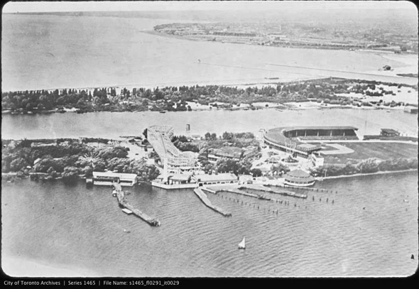
Toronto Islands and Hanlan's Point Stadium, where Babe Ruth hit his first professional home run
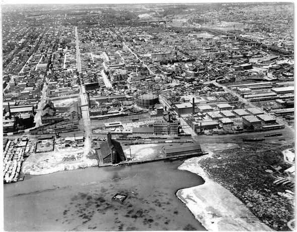
The Distillery District was just a touch bigger in 1927
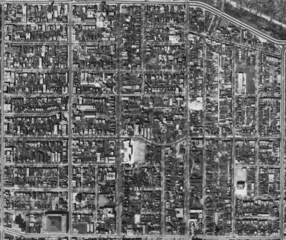
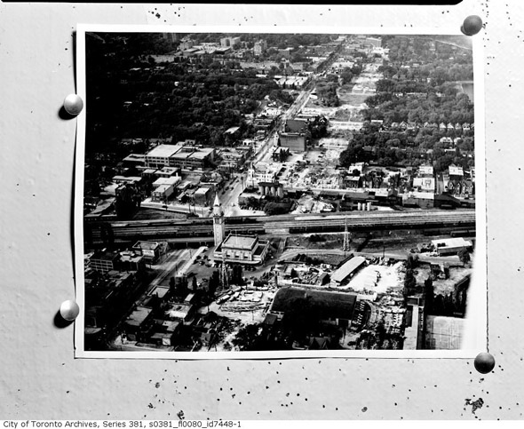
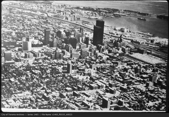
Looking north across Toronto, around 1929
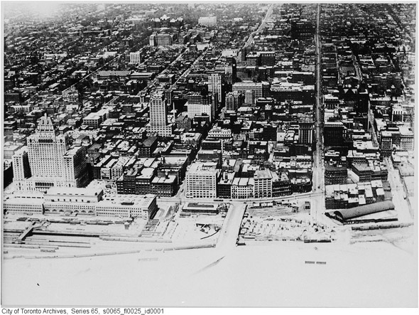
Downtown Toronto, 1930
Bayview and Lawrence in 1930
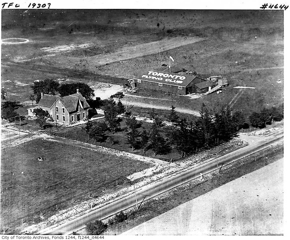
Above what is now Pearson International in 1930
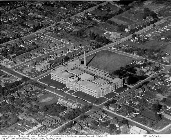
Northern Secondary School, 1930
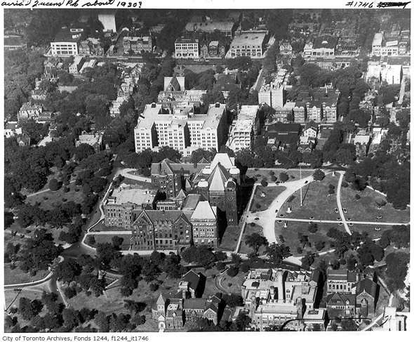
Queen's Park, 1930
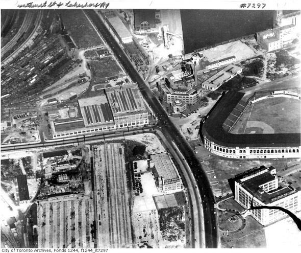
Maple Leaf Stadium near Bathurst and Lake Shore, 1930
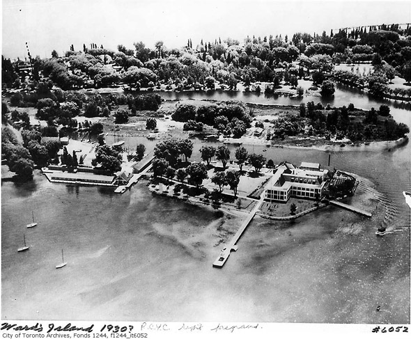
Toronto Islands, 1930
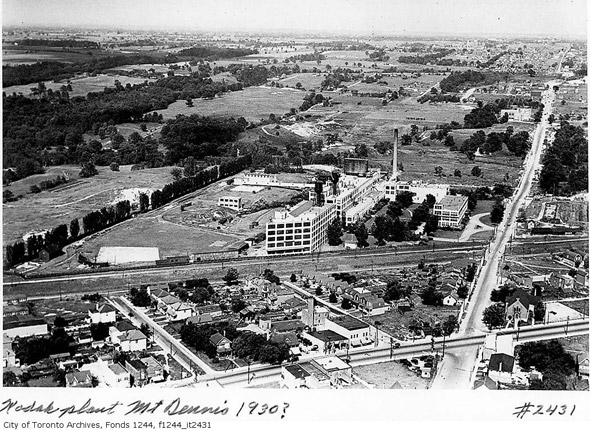
Mount Dennis and Kodak Plant, 1930
Looking southeast across Toronto 1930 (The Canadian Imperial Bank of Commerce Building was quite prominent back then)
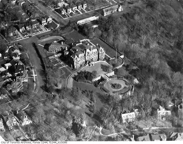
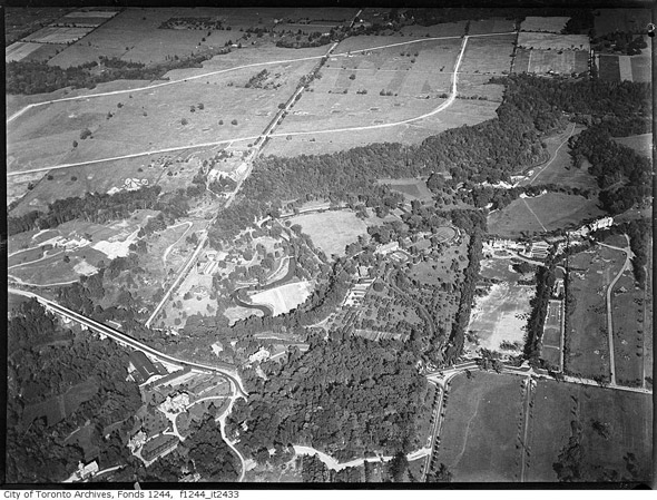
Chorley Park in 1930 (the trace of which can still be seen from the air)
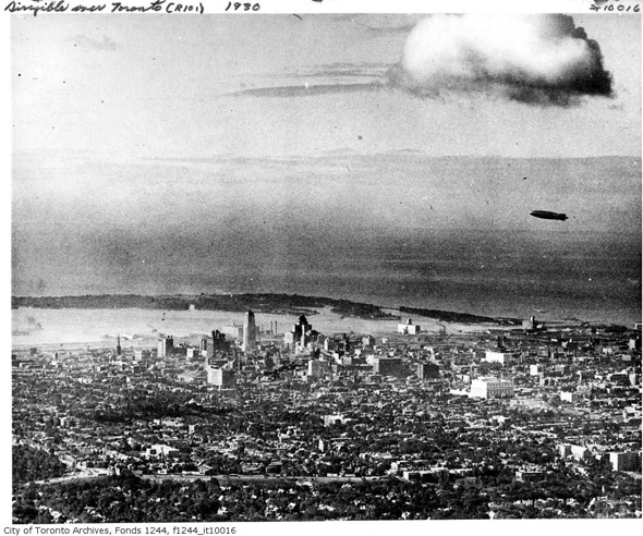
Aerial with R-101 Dirigible in view, 1930s

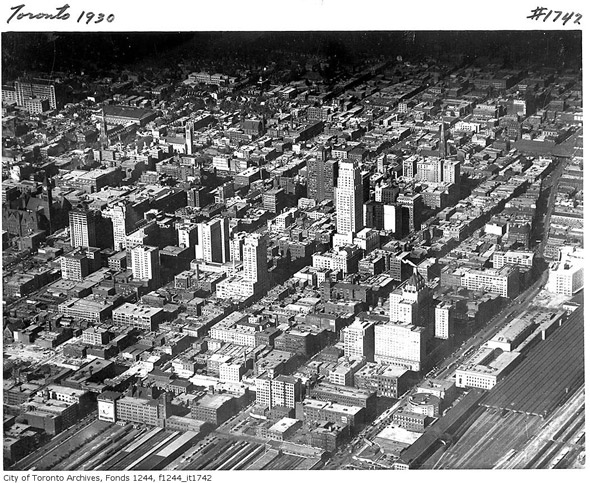
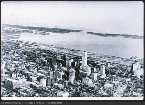
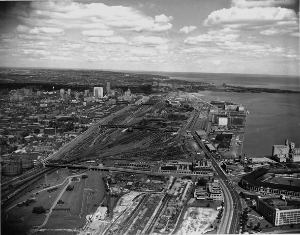
Downtown Toronto, 1932
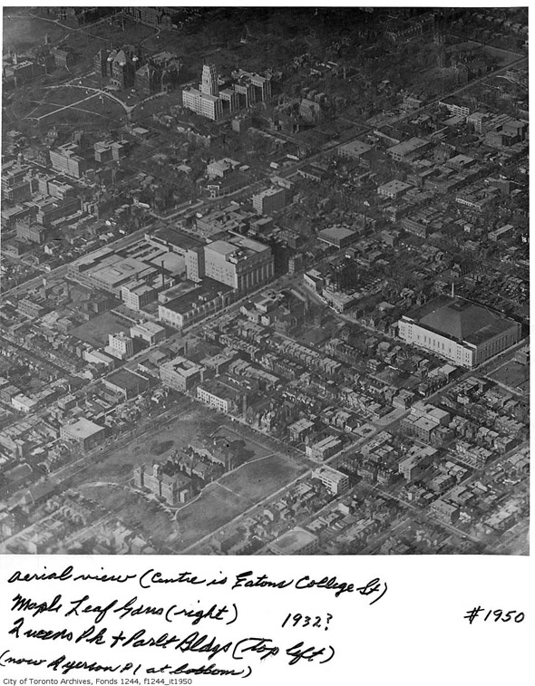
Maple Leaf Gardens and the now demolished Normal School (Ryerson campus today)
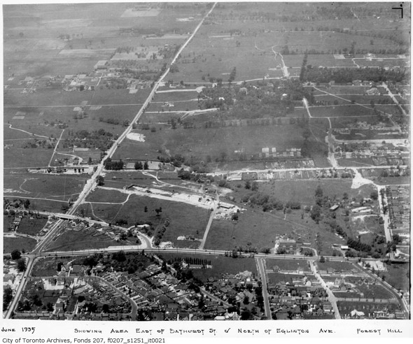
Bathurst north of Eglinton had yet to be developed much in the 1930s
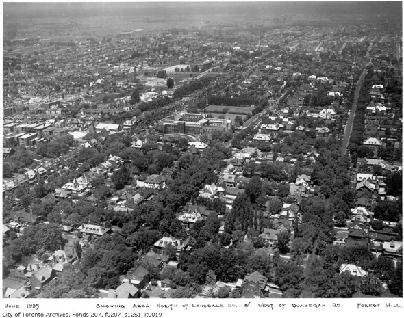
Above Forest Hill in 1935
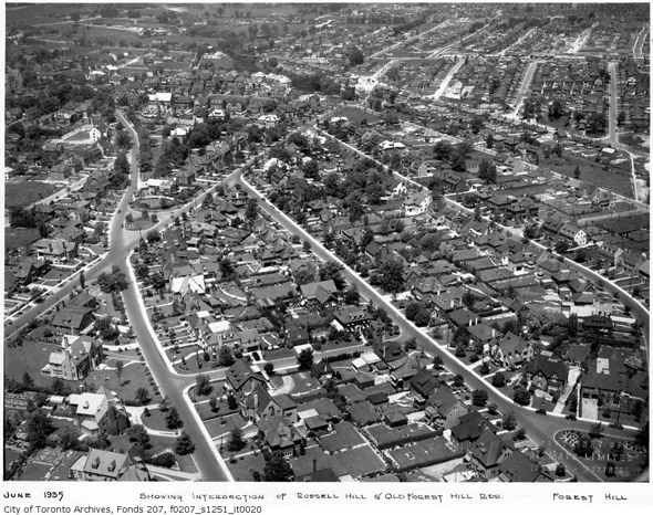
Different Angle, same year
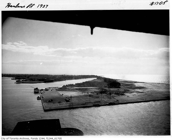
The current site of the Island Airport, 1937
Above Toronto in the 1940s
East York Aerial, 1942
St. James Town Aerial, 1942
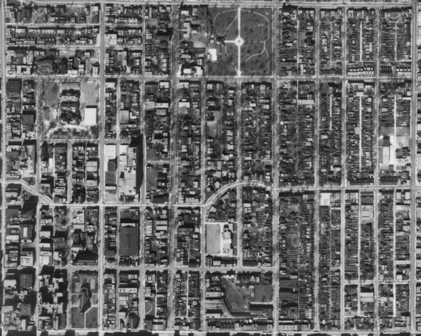
The Garden District, 1942
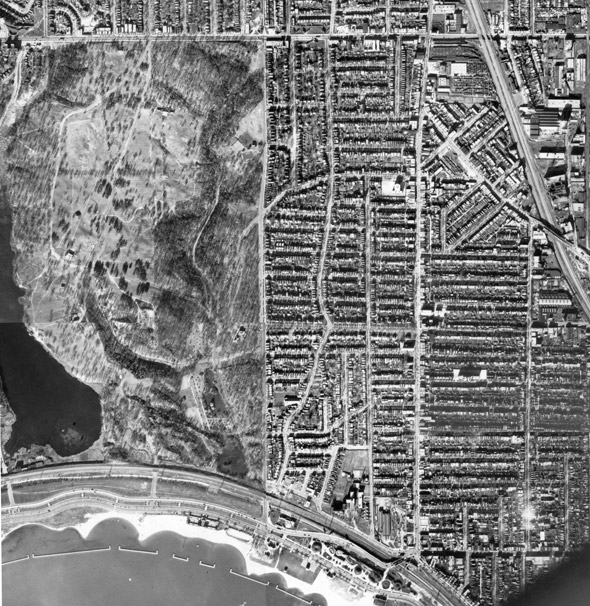
High Park Aerial, 1942
Rosedale north to St. Clair Avenue, 1942 (notice the Rosehill Reservoir was yet to be covered)
Summerhill CPR Station, 1950
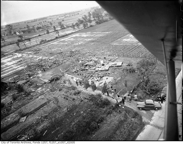
Damage from Hurricane Hazel north of Toronto in 1954
Looking southwest from around Jane and Lawrence, 1950s
A freshly demolished Maple Leaf Stadium, 1960s
The TD Centre has arrived, late 1960s
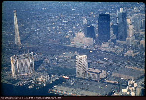
Hello to the CN Tower, mid-1970s
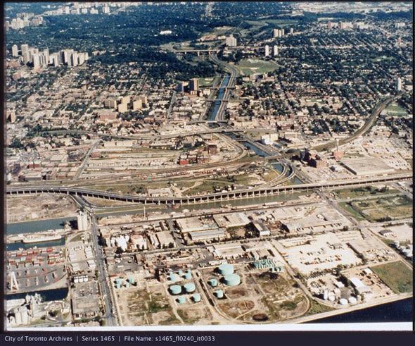
The Port Lands in the 1970s
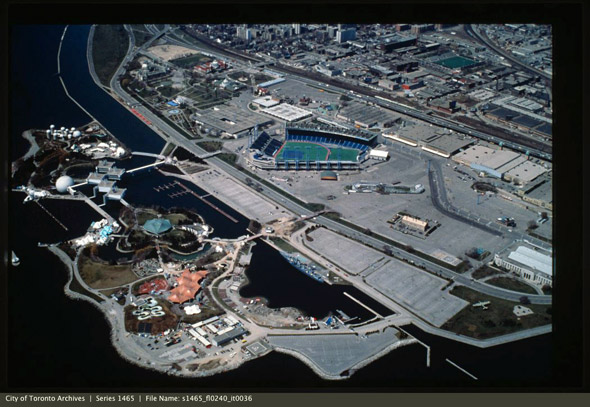
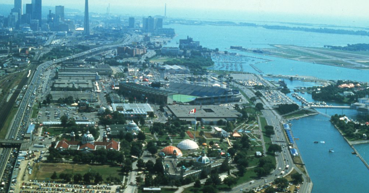
Exhibition Stadium and the CNE grounds 1980s
by Staff via blogTO
No comments:
Post a Comment