
Want to see 35 years of progress over 630 square kilometres of land in just 35 seconds? It's possible and, for the first time ever, you can do it on your phone.
Google Earth just released a massive update to its Timelapse tool, which the tech juggernaut describes as a "global, zoomable time-lapse video that lets anyone explore the last 35 years of our changing planet's surface—from the global scale to the local scale."
Along with new mobile capabilities, the update brings two more years of satellite imagery from NASA, the U.S. Geological Survey and European Sentinel programs into the picture, letting us interactively explore what's gone down between 1984 and 2018 all over the world.
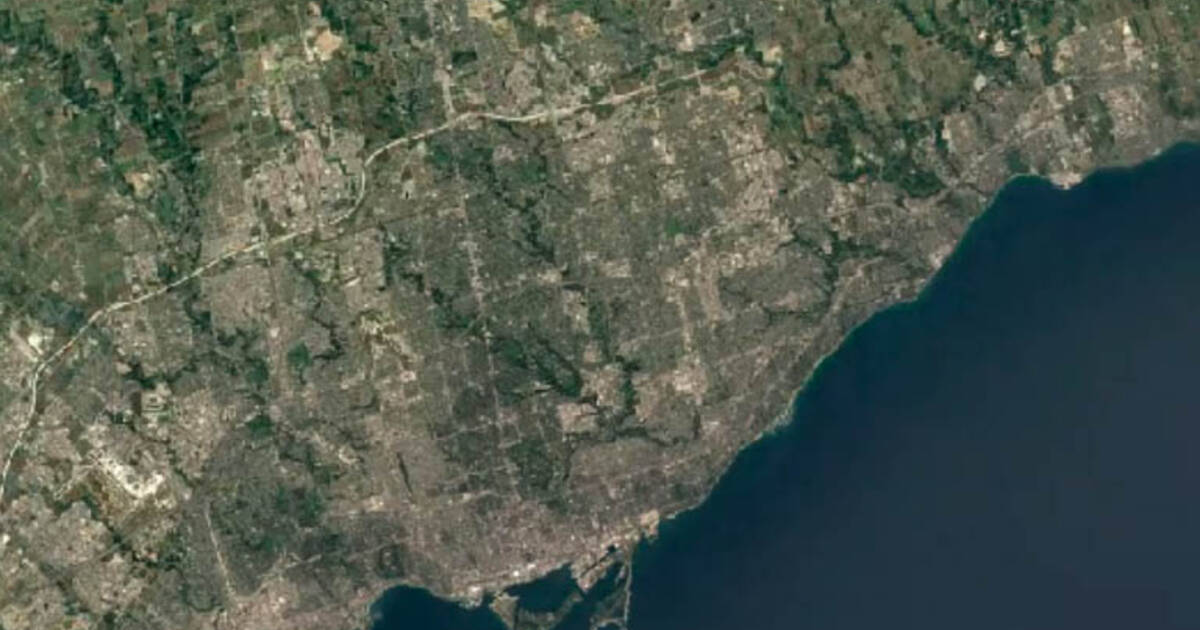
Google has already taken the liberty of creating Youtube videos for nearly 300 cities around the world to show how much they've changed over 35 years, and Toronto is one of them.
Cool as the video series is, there's so much more to explore using the actual tool.
The interactive project lets you zoom in on areas of particular interest and highlights patterns related to things like forest cover, wildlife habitats and global surface water.
Hover over Toronto's Leslie Street Spit, for example, to watch a robust peninsula spring out from a bare and skinny landfill.
You can also explore datasets and highlighted timelapses showing wildfires in Australia, melting glaciers in Alaska, the effects of mining in Alberta, urban growth in China, the construction of Silicon Valley, the drying of the Aral sea and deforestation everywhere.
Some of these timelapses put Toronto's percieved rate of change to shame.
To do all of this, Google used its cloud platform to compile more than 15 million satellite images (which together contain about 10 quadrillion pixels) via "petabyte-scale geospatial analysis," with help from Carnegie Mellon's CREATE LAB, among other groups.
"Scientists, documentarians and journalists have used this dataset to help us better understand the complex dynamics at work on our planet," wrote Google Earth Geo Data Engineer Chris Herwig in a blog post on Thursday to coincide with the update's release.
"Recently, a team of scientists at the University of Ottawa published an article Nature based on the Timelapse dataset which revealed a 6,000 percent increase in landslides on a Canadian Arctic island since 1984," the post continues.
"We're committed to creating products like Timelapse with the planet in mind, and hope that making this data easily accessible will ground debates, encourage discovery, and inform the global community's thinking about how we live on our planet."
by Lauren O'Neil via blogTO
No comments:
Post a Comment