
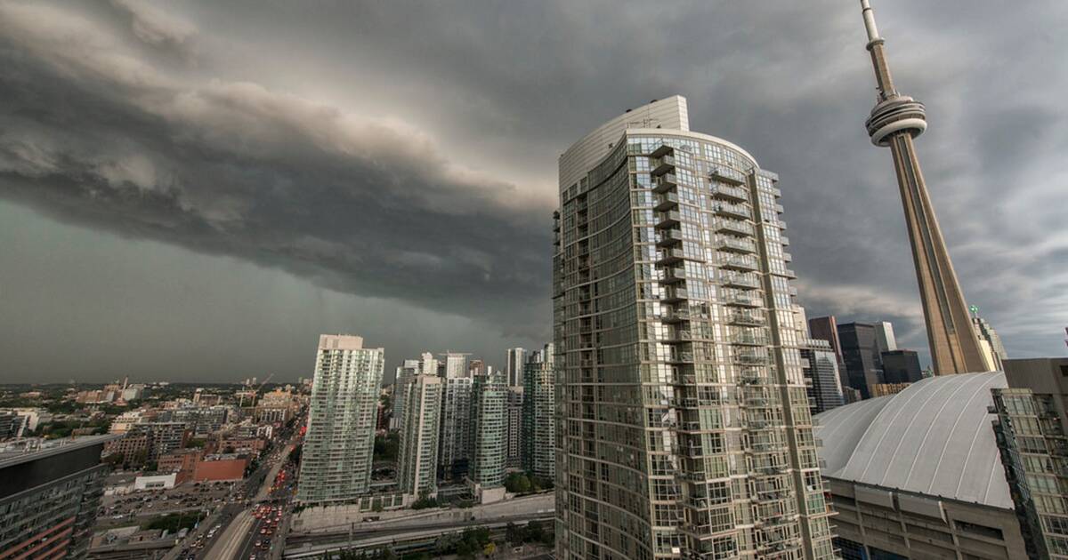
A heat warning has been in effect for the City of Toronto throughout the past few days amid extremely high temperatures and humidex values, and now Environment Canada has also issued a severe thunderstorm watch for the region.
The weather agency says conditions are favourable for the development of severe thunderstorms that may be capable of producing very strong wind gusts of up to 90 km/h, and the rain is expected to last from mid-afternoon into the late evening.
"Very strong wind gusts can damage buildings, down trees and blow large vehicles off the road," reads the Environment Canada alert.
"Locally heavy rain is also possible. Lightning kills and injures Canadians every year."
Meanwhile, meteorologists from The Weather Network predict that tonight's storm will put an end to the intense heat felt throughout the city over the past few days.
The lingering humidity will fuel strong storms in parts of the province as a cold front passes through. #onstorm
— The Weather Network (@weathernetwork) July 27, 2020
"Temperature-wise, Monday's storm-triggering cold front will have done heat-weary Ontarians a service, sweeping the humidity away and leaving behind cooler temperatures for most of the coming week," reads a blog post from The Weather Network.
Forecasters also say Tuesday will carry some lingering storm risk, though thankfully temperatures are set to return to seasonal with highs in the mid-to-high 20s forecasted through to end of the August long weekend.
As for today's storm, Environment Canada is reminding everyone to take cover once the dreary weather arrives.
"Remember, when thunder roars, go indoors!" the alert states.
"The Office of the Fire Marshal and Emergency Management recommends that you take cover immediately if threatening weather approaches."
by Mira Miller via blogTO
No comments:
Post a Comment