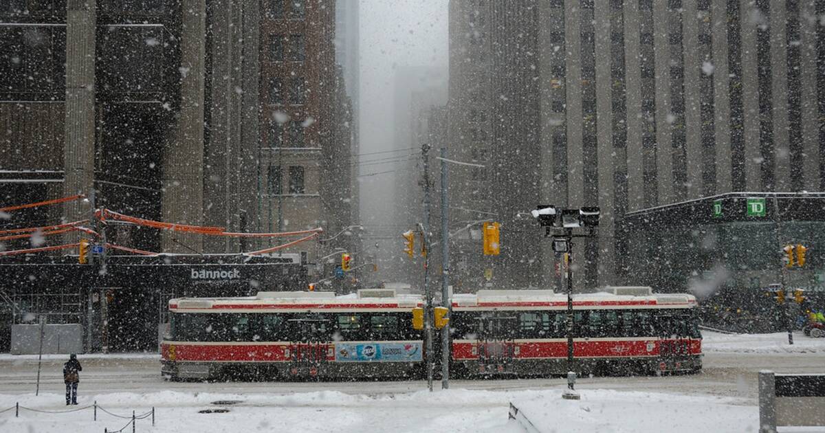
We survived our first snowfall of the year, Toronto, but it turns out Thursday's flurries were nothing compared to what's coming.
According to The Weather Network, meteorologists are currently "watching the increasing potential for a significant system set to develop and track along the cold front south of the U.S. border early next week."
The system could bring with it widespread snow on Monday for southern Ontario and Quebec, including the GTA.
Dangerous snow squalls will continue across parts of southern Ontario through Saturday. with some scattered flurries continuing into the weekend. #ONstorm #ONsnow
— The Weather Network (@weathernetwork) November 8, 2019
"The northern edge of this system is expected to extend into southern Ontario and southern Quebec and bring widespread snow later Monday through Monday night," said meteorologist Dr. Doug Gillham.
"But we have the potential for snow totals to reach 5-10 cm along the 401 corridor, including the Greater Toronto Area. If this system shifts further to the south, then snow totals will be much lower."
Unfortunately, the colder-than-usual temperatures are here to stay too.

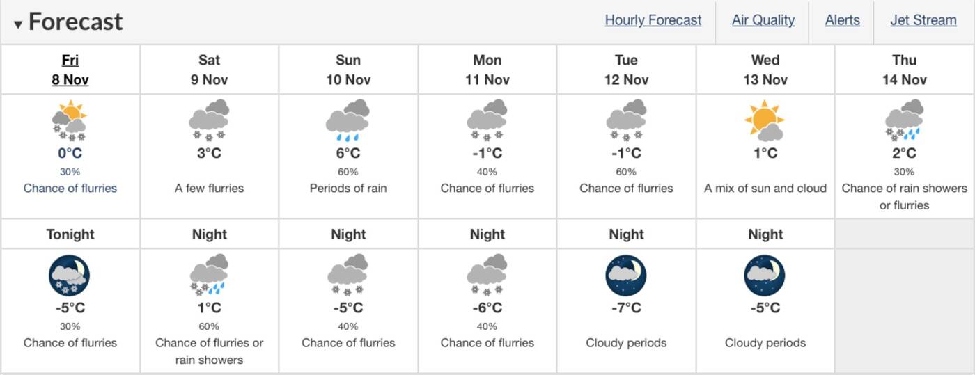
Environment Canada forecast
According to Environment Canada, highs will remain slightly above freezing this weekend before hitting -1 C on Monday and Tuesday.
"Although the cold pattern looks to relax at times during late November, overall the chilly weather is set to dominate right through the end of the month," according to The Weather Network.
And Monday won't be the only snowy day next week.
Environment Canada is currently predicting possible snowfall for Monday, Tuesday and Thursday.
So it's time to get used to winter boots again, because it looks like winter is here for the long haul.
by Mira Miller via blogTO

No comments:
Post a Comment