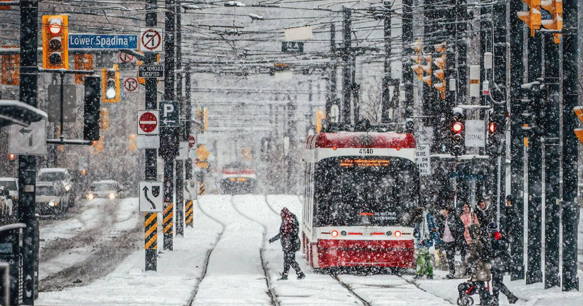
February's final days are shaping up to be... well, much like one might expect them to be in Toronto at this time of year: cold, dreary, awash with snow...
The problem for much of Southern Ontario is that we've already gotten used to above-seasonal temperatures. On Sunday, people were out on patios in t-shirts. By Wednesday, we'll all need insulated boots.
That is, if the forecast is accurate.
Environment Canada is calling for as much as 25 cm of snow in the city of Toronto on Wednesday, with flurries beginning to fall in the early morning hours.
Snow is expected to become heavy late Wednesday afternoon and will continue through the night, hopefully tapering off into flurries by Thursday morning.
NEW - snowfall warning issued for Toronto and the GTA - EC forecasting 15-25 cm of snow beginning Wed. a.m. intensifying by afternoon and lasting into early Thur. a.m. - winter storm warning issued for parts of eastern Ontario with heavier amounts expected (20-30 cm) #onstorm pic.twitter.com/KEQUpyvs44
— Ross Hull (@Ross_Hull) February 25, 2020
"This snow is the result of a low pressure system from the central United States that is forecast to track over Eastern Ontario Wednesday night," reads a snowfall warning issued by the federal weather agency Tuesday afternoon.
"Be prepared to adjust your driving with changing road conditions. Visibility may be suddenly reduced at times in heavy snow. There may be a significant impact on rush hour traffic in urban areas."
The silver lining here is that temperatures won't drop too far down into bone-chilling territory.
Meteorologists say we can expect a high of 0 C and a low of -5 C on Wednesday, followed by a multi-day dip down to a low of roughly -10 C on both Saturday and Sunday.
After that, it's anyone's guess — not even the groundhogs can come to a consensus on when spring will arrive for real this year.
by Lauren O'Neil via blogTO

No comments:
Post a Comment