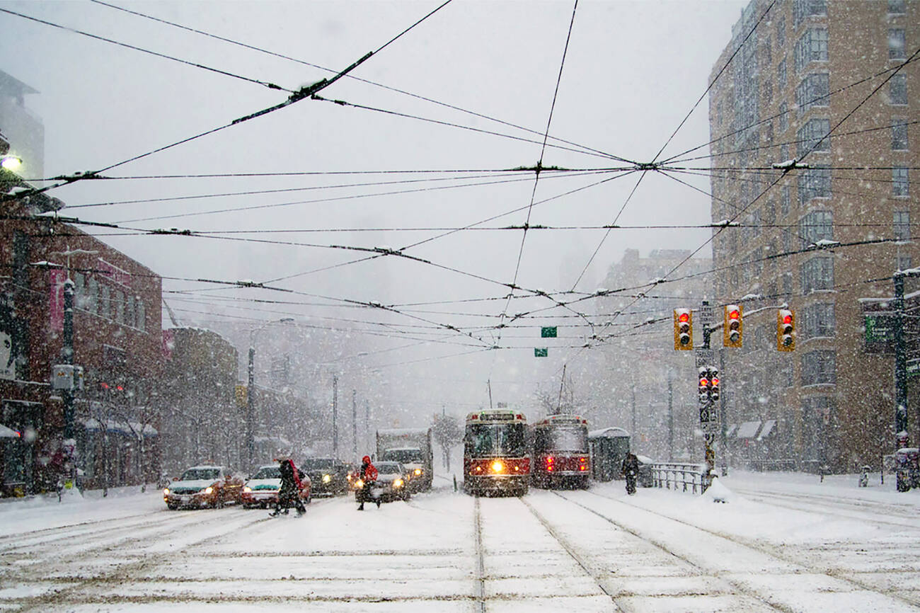
While Toronto has seen a few glimpses of spring weather of late, winter is about to serve up an abrupt dose of as much as 10 centimetres of snow tonight.
Environment Canada has issued a special weather statement that sketches a troubling portrait of the impending snowfall for those of us who thought we were done with shovelling and slush for the year.
"A rain and wet snow mix is expected to move into the Greater Toronto Area early this evening as a strengthening low pressure system approaches the Great Lakes."
"As the low pressure passes by to the south, brisk northeasterly winds will pull in colder air and cause the precipitation to turn over to all snow this evening."
Based on temperature projections, rain will quickly turn into snow overnight, which could make for a messy commute on Friday morning.
The news comes after a bout of beautiful spring weather that saw record breaking temperatures for the month of February.
Thankfully after tonight, the rest of the week is expected to mellow out as pre-spring spring weather resumes with a mix of sun and clouds and temperatures hovering just above the freezing mark.
T-minus 19 days until spring officially arrives.
by Lisa Power via blogTO

No comments:
Post a Comment