
The Leslie Street Spit began as a manmade peninsula of discarded bricks and debris, but is now one of Toronto's most beloved nature getaways.
Whether you refer to it as Leslie Spit, the Spit, Tommy Thompson, or the Outer Harbour East Headland (its more formal moniker), this five-kilometre path extending from Leslie Street south to the water is a testament to the unrelenting resilience of mother nature.
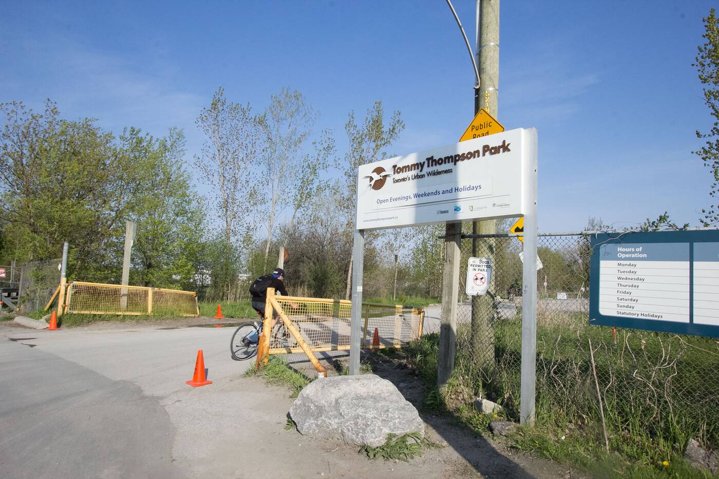
Tommy Thompson Park is the beginning portion of the Leslie Street Spit.
A real city-nature mash-up, this stretch near Woodbine Beach is home to 400 species of plants and an immense population of birds, all of which reside and flourish alongside hills of eroded cement and rebar on the Spit's shores.
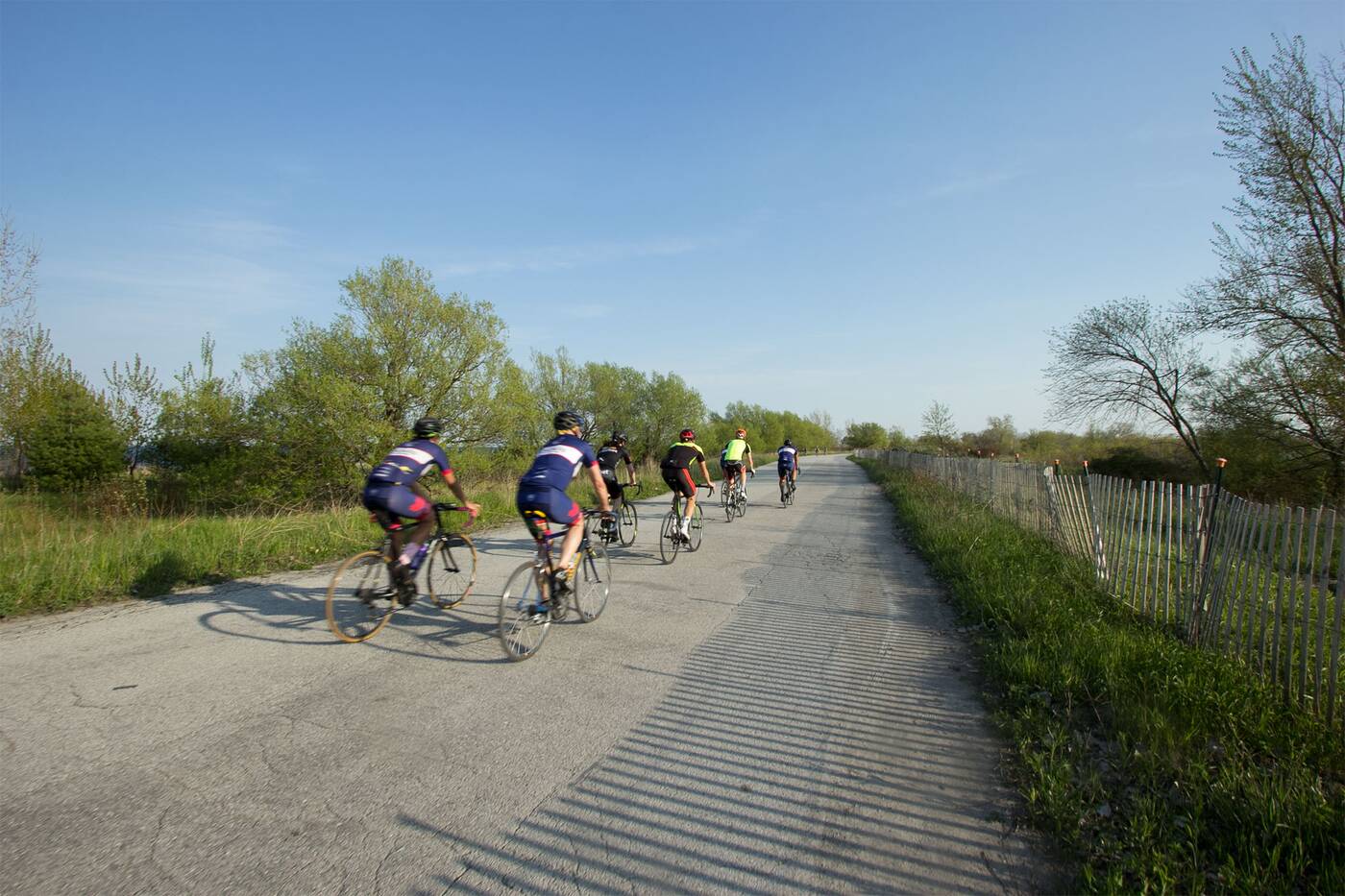
The street is a popular trail for bikers and joggers.
Entry rules are more stringent here than at other parks, likely because of the dangerous materials located all along the water's edge. There are no cars allowed on the trail here — though there's plenty of parking at the Tommy Thompson Park entrance — and dogs are forbidden.
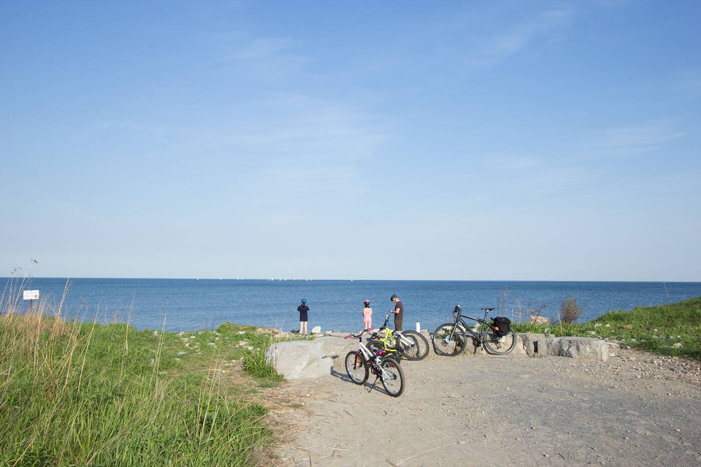
Lookout points along the beginning part of the path let walkers and cyclist check out the eastern view.
On weekends the park opens early, at 5:30 a.m., and closes at 9 p.m. During the weekdays you'll have to skip the early morning walk and head over for the incredible view of the sunset instead, since the park opens late, at 4 p.m., and closes at 9 p.m.
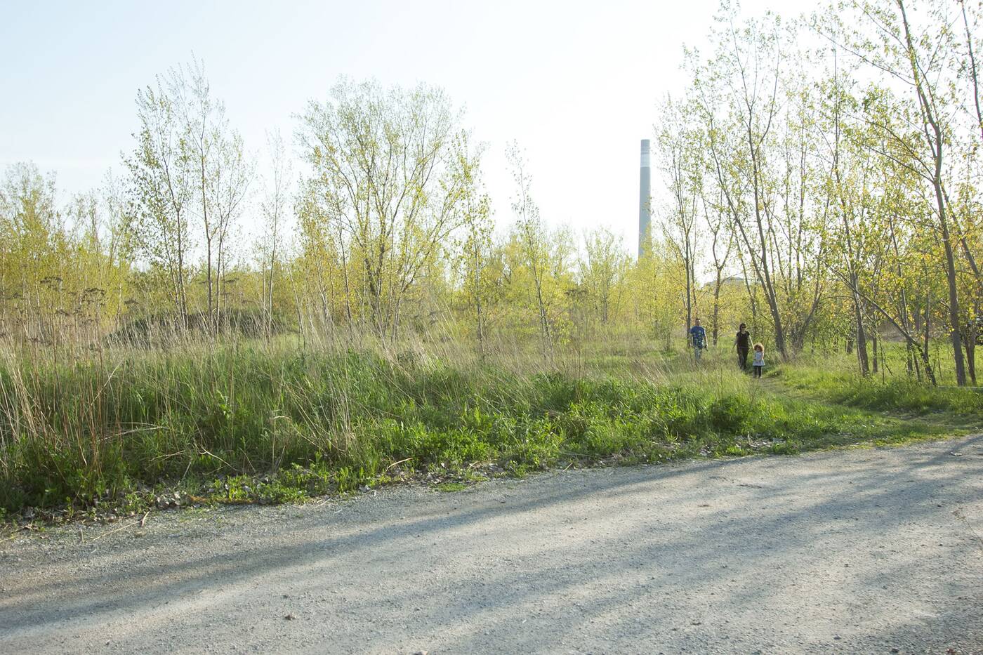
There are several little paths that let walkers travel through grassier areas.
It'll take a little over an hour for moderate walkers to cover the entire path well-worn by bikers, joggers and nature lovers craving an escape from the city. Full of grassy trails and cottonwood trees, you'd never guess that a portion of Leslie Spit still acts as a landfill today.
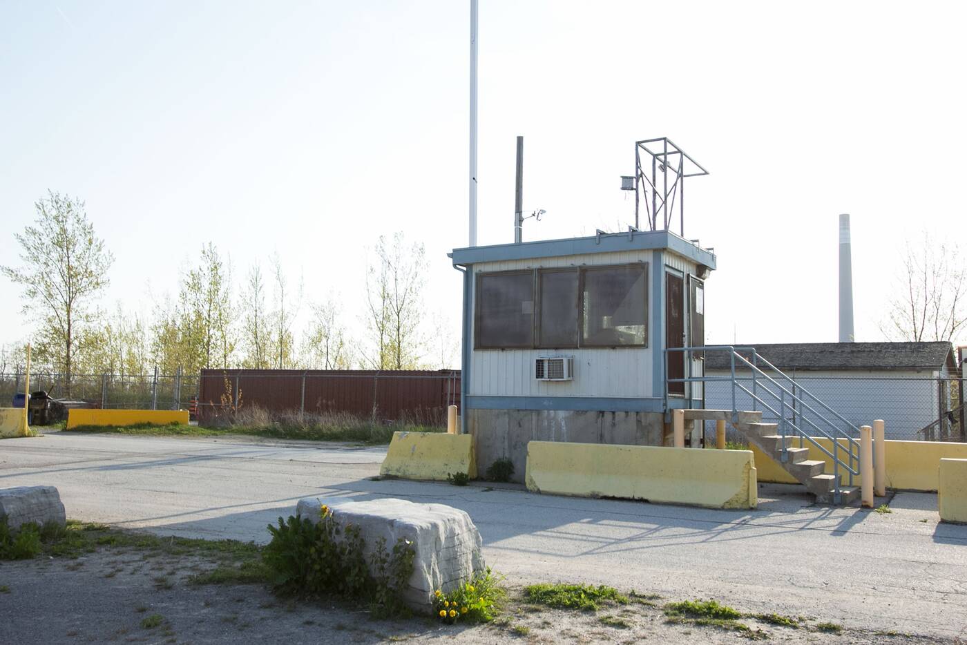
The manmade peninsula was originally built as a breakwater during the 1950s.
Originally intended as a breakwater in the 1950s, the peninsula was created to accommodate a forecasted expansion of shipping traffic to the city's outer harbour — an increase that never ended up happening.
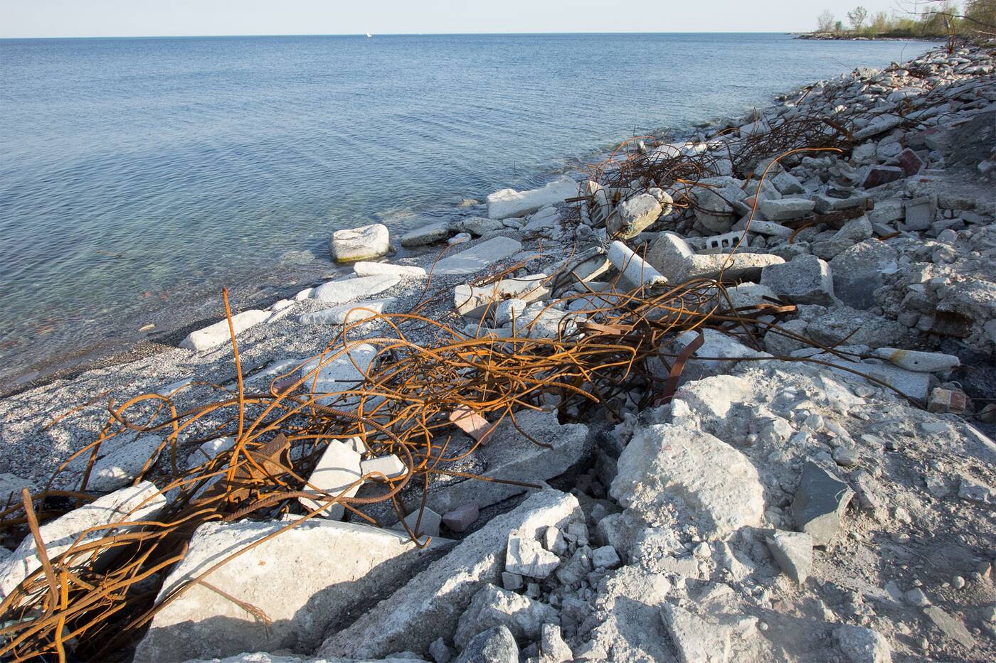
Tommy Thompson's shore is full of rebar and construction debris.
Instead, the city began using the Spit as a dumping ground in the 70s. Construction materials, silt and mud from Toronto's building zones and TTC have transformed the southern area of the Spit over the decades.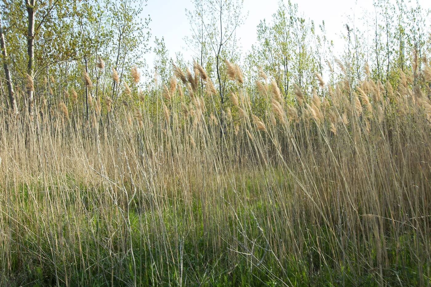
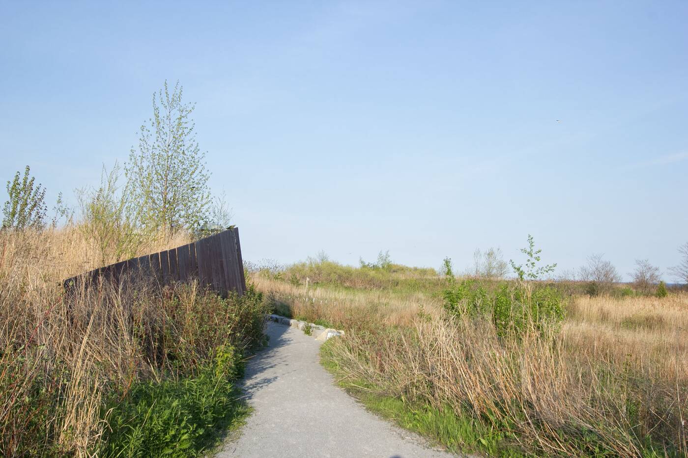
The natural environment has flourished in Leslie Street Spit, despite being a landfill.
Despite this, the natural environment has thrived on this manmade piece of land and the naturalization of the Spit has become a big priority (thanks to advocacy groups like Friends of the Spit) with plans to turn the entire area into a parkland in the future.
There are over 400 types of plants growing in the Leslie Street Spit.
Today the area is quite a bird lover's paradise, with over 300 species calling it home. Near the last leg of the trail, you'll pass a forested area that rings with the cacophony of bird cries and there's no doubt you'll see a number of gulls, finches and night-herons soaring overhead.
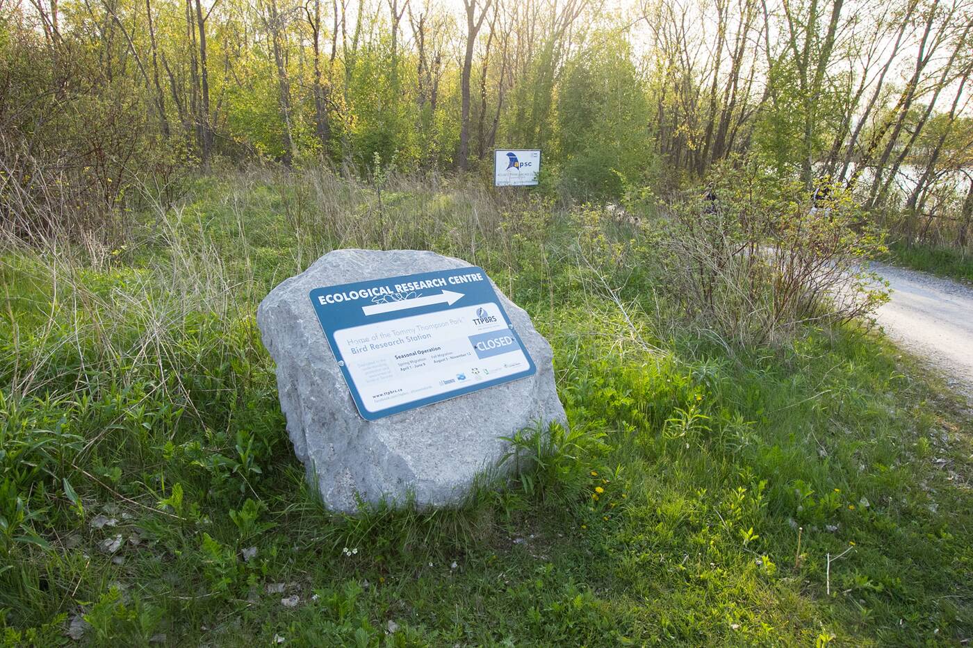
The Bird Research Station is open during bird migration seasons in spring and fall.
Designated an Important Bird Area, the Spit also houses the Tommy Thompson Park Bird Research Station, which is accessible to the public via an offshoot trail on weekends during the migration seasons of spring and fall.
The Tommy Thompson Park floating bridge marks the halfway point to the southernmost point of the Spit. When you get here, you'll be rewarded with incredible views to the east and west across the outer harbour toward Cherry Beach.
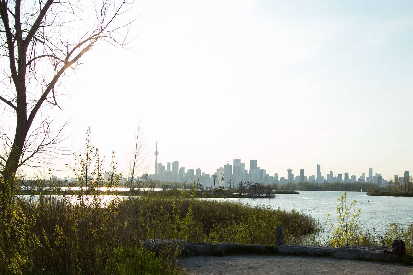
A sheltered lookout provides a glimpse of Toronto's skyline.
Further along the tree-lined path, you'll eventually find a little lookout with a quintessential view of Toronto's skyline. It looks especially beautiful when the sun begins to set.
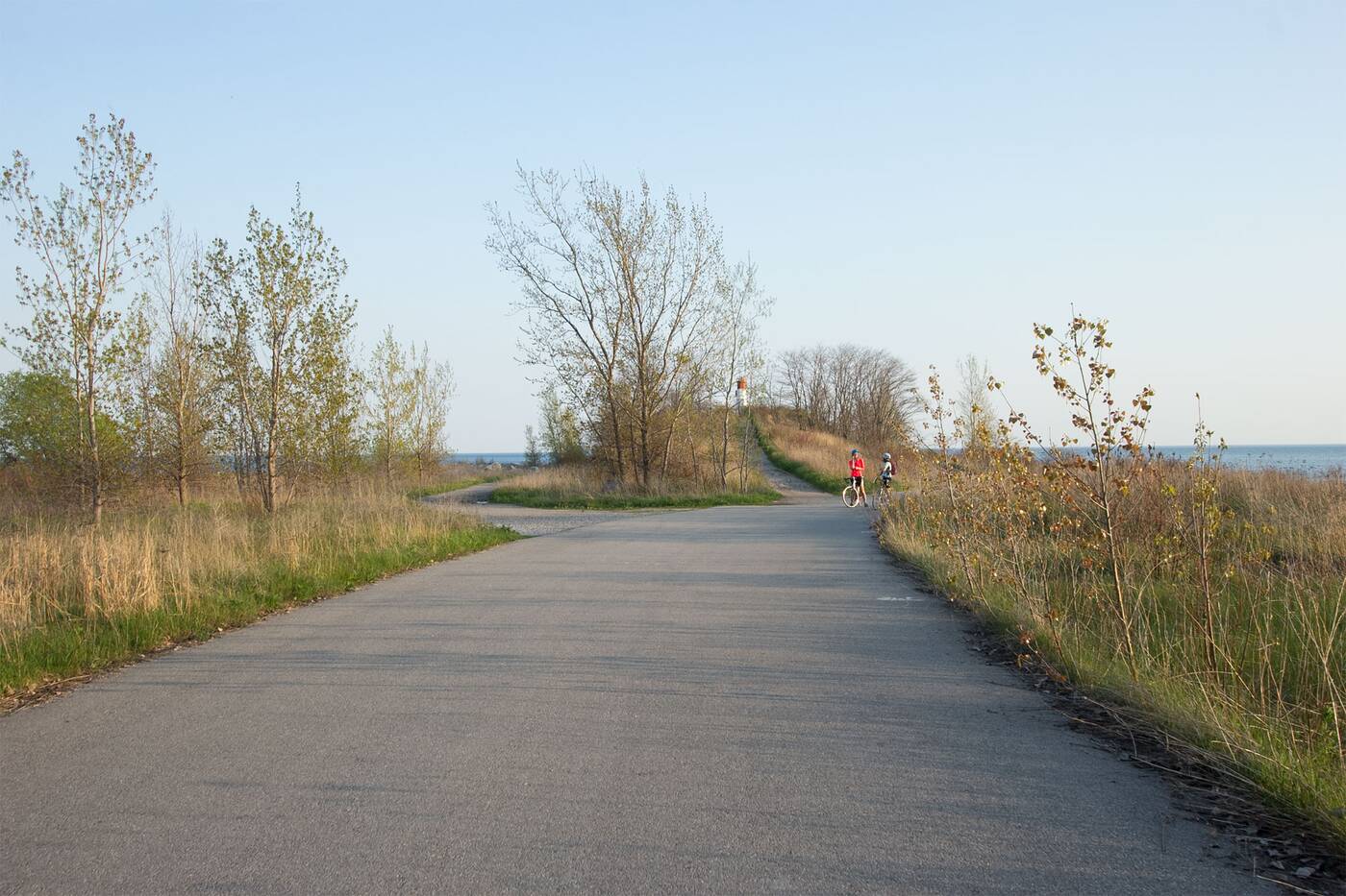
Vicki Keith Point marks the tip of the Leslie Street Spit.
As you near the Vicki Keith Point (named after the celebrated Canadian swimmer), you'll see the road fork around an uphill climb to High Point.
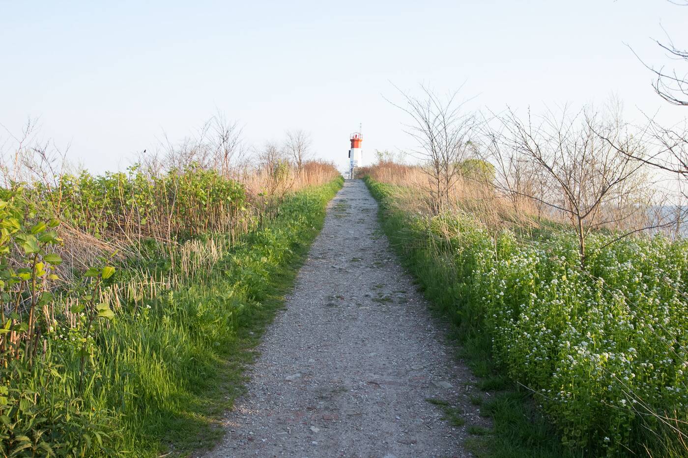
A solar-powered lighthouse sits atop High Point.
Sitting atop High Point is the Toronto Harbour Light, an automated lighthouse built in 1974 that's powered by a solar panel and conducts ship traffic along the eastern channel into the city's harbour.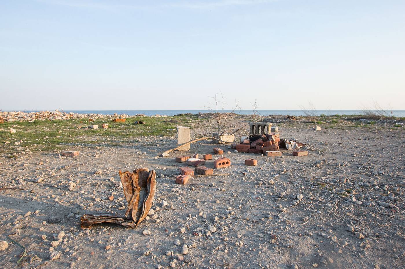
The very tip of the peninsula is littered with brick and steel, but the western skyline view makes up for it.
Just beneath the hill at lake-level is the anti-climactic tip of the Spit, a barren piece of land littered with industrial junk. The real view is to the west, where — just across the water — you'll see Toronto's skyline uninhibited by trees. 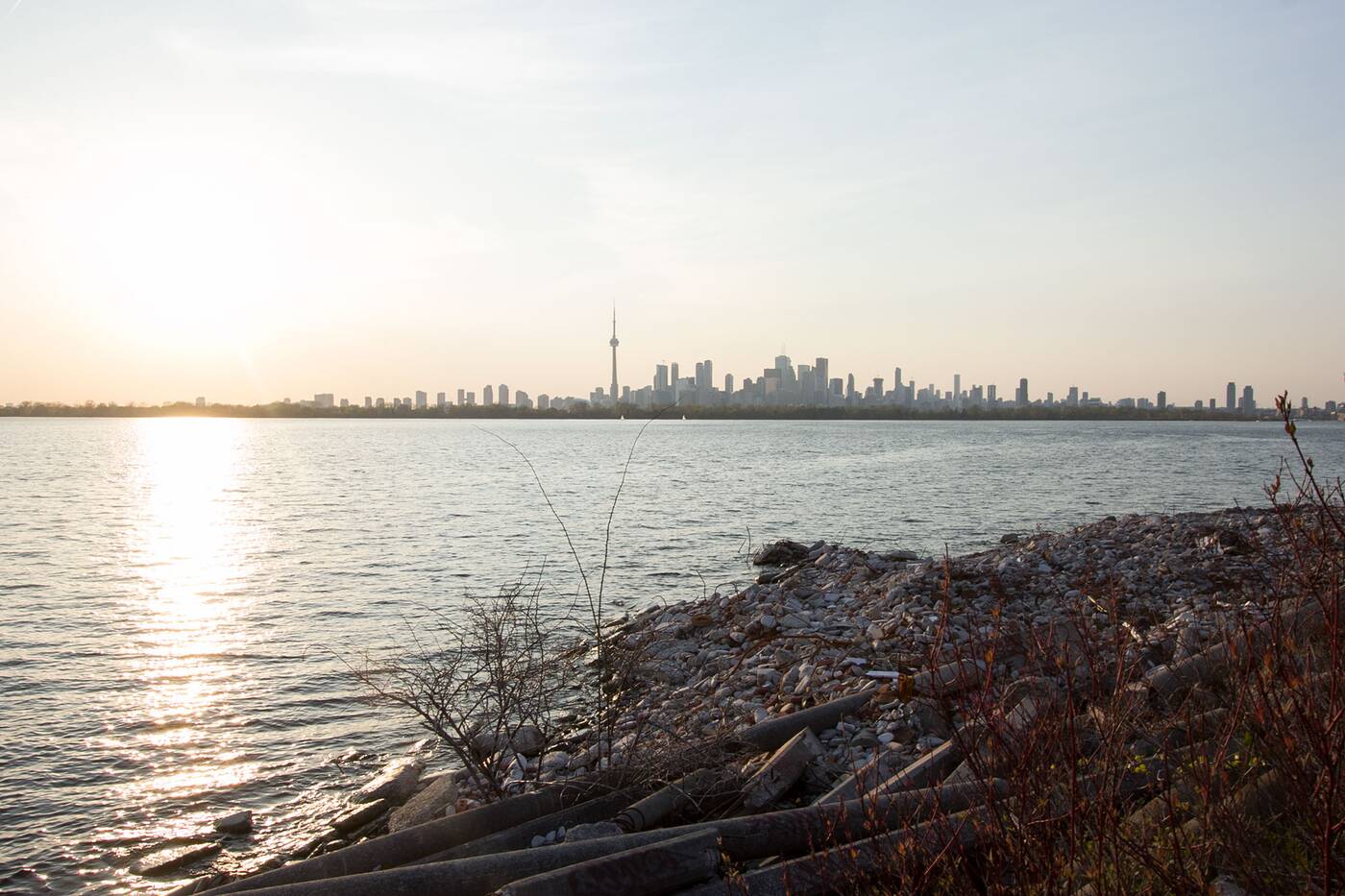
by Tanya Mok via blogTO

No comments:
Post a Comment